Boundary Surveys
Whenever you are looking to develop on or alter the use of a piece of land, you first have to establish where the legal boundary of the property lies.
There could be serious legal repercussions if you don’t take the right route in figuring out where the property’s physical and legal boundaries are established, which could also slow the project down and become incredibly costly.
The first step that we undertake at Total Grid Surveys is the research aspect of the project.
We will look into the land records to locate plans, maps, deeds, wills and other essential documentation that will stipulate the boundaries and rights attached to a piece of land.
A “chain of title” is established by tracking down historical documents that pertain to current parcel and abutting parcel deeds.
This allows us, as the property boundary surveyor, to get an accurate understanding of the original description of the parcel, as well as figuring out if there have been any added legal parcels or adjoining parcels since the original documentation.

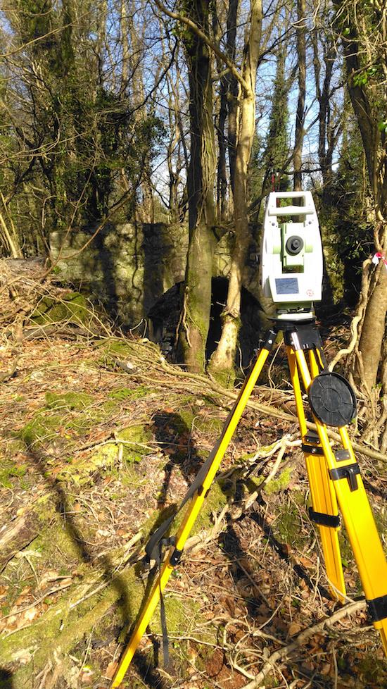
Once Total Grid Surveys has concluded the in-depth research, we will then go ahead and do a field examination to discover any physical boundary lines such as walls, fences, pipes and other obvious boundary signs.
We then mark all of this physical evidence that was uncovered during the field survey to clearly demarcate the physical boundary lines of the property.
We use different technologies and methods to produce the most accurate results, and this includes Robotic Total Stations, conventional field survey methods and other technologies like GPS surveying.
Why choose Total Grid Surveys?
At Total Grid Surveys, we utilise a wide range of conventional and innovative technology and software to ensure we get the most accurate results for our clients.
All of our equipment is continually monitored for precision and reliability, as well as being upgraded at every possible chance.
Once all the historical data and survey data is processed, Total Grid Surveys will then produce a drawing to Property Registration Specification Ireland (PRAI) specification for the client.
If you are interested in our Boundary Surveys or would like to know more about our other services, simply give us a call or send us an email and we’ll get back to you as soon as we can.


