3D Modelling/Digital Terrain Modelling (DTM)
3D Modelling/Digital terrain modelling (DTM), sometimes called digital elevation modelling, is used to create a virtual depiction of the topography and terrain of a piece of land for construction purposes.
For hundreds of years, maps have been successfully used for this purpose, but new technologies now allow for a more accurate elevation data that is much more precise when represented in a digital format.
DTM is incredibly useful for any kind of construction project, as it gives you a more accurate view of the elevation of a piece of land and will give you a precise indication of contours and other features that may have an effect on your project.
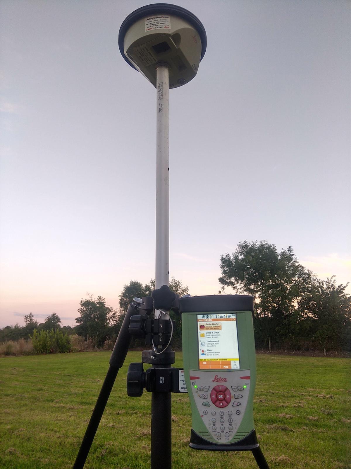
There are a number of ways to collect the data represented in a digital terrain model, and at Total Grid Surveys, we use the latest technologies to obtain it. We use a combination of GPS equipment and direct surveying methods to get the most accurate data possible.
We also use our direct land surveys to create contour maps of the terrain, which can then be used to create a digitally enhance terrain map for a more accurate representation.
By turning these topographical maps into computer-generated models, our clients are able to more accurately see the elevation of the land into a virtual ‘real-world’ view.
Why choose Total Grid Surveys?
When it comes to land survey services in Ireland, there is no one that goes the extra length like Total Grid Surveys.
We believe that we can exceed our clients’ expectations on every project and our combination of highly experienced professionals and advanced surveying equipment and technologies makes this a guarantee.
If you’d like to know more about our digital terrain modelling (DTM) services or any of our other surveying service, then simply contact us and we’ll get back to you as soon as we can.